Shoreham By-Pass, A27(T)
Introduction
The photograph on this page of Shoreham By-Pass, A27(T) by Peter Holmes as part of the Geograph project.
The Geograph project started in 2005 with the aim of publishing, organising and preserving representative images for every square kilometre of Great Britain, Ireland and the Isle of Man.

There are currently over 7.5m images from over 14,400 individuals and you can help contribute to the project by visiting https://www.geograph.org.uk
Shoreham By-Pass, A27(T)
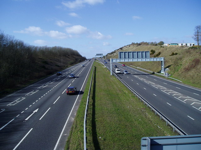
Image: © Peter Holmes Taken: 1 Mar 2008
View from bridge over A27 looking west with Slonk Hill Farm outbuildings to north of road.
Images are licensed for reuse under creativecommons.org/licenses/by-sa/2.0
Image Location
Latitude
50.845392
Longitude
-0.259241