Path leading off Tinkler Lane
Introduction
The photograph on this page of Path leading off Tinkler Lane by Gordon Hatton as part of the Geograph project.
The Geograph project started in 2005 with the aim of publishing, organising and preserving representative images for every square kilometre of Great Britain, Ireland and the Isle of Man.

There are currently over 7.5m images from over 14,400 individuals and you can help contribute to the project by visiting https://www.geograph.org.uk
Path leading off Tinkler Lane
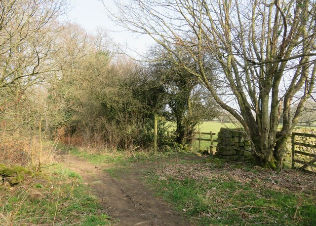
Image: © Gordon Hatton Taken: 22 Mar 2022
Tinkler Lane is no more than a bridleway in appearance, but is shown as one of those 'other routes with public access' on the OS map. One suspects that this is an ancient way as it heads down towards New Bridge which is on an old packhorse route. The signpost points along footpath number 15.55/97 to Dinmore House.
Images are licensed for reuse under creativecommons.org/licenses/by-sa/2.0
Image Location
Latitude
54.043253
Longitude
-1.636666