Chesterton: a green space
Introduction
The photograph on this page of Chesterton: a green space by John Sutton as part of the Geograph project.
The Geograph project started in 2005 with the aim of publishing, organising and preserving representative images for every square kilometre of Great Britain, Ireland and the Isle of Man.

There are currently over 7.5m images from over 14,400 individuals and you can help contribute to the project by visiting https://www.geograph.org.uk
Chesterton: a green space
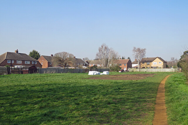
Image: © John Sutton Taken: 23 Mar 2022
Between the back gardens of Lents Way (left) and Cheney Way (offstage right)
Images are licensed for reuse under creativecommons.org/licenses/by-sa/2.0
Image Location
Latitude
52.221443
Longitude
0.15246