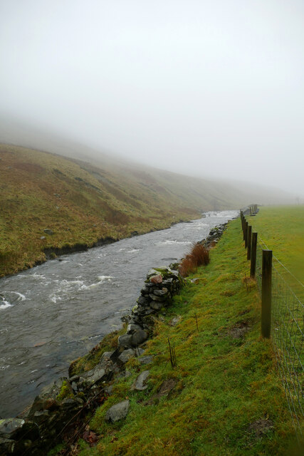
Borrow Beck
Introduction
The photograph on this page of Borrow Beck by Andy Waddington as part of the Geograph project.
The Geograph project started in 2005 with the aim of publishing, organising and preserving representative images for every square kilometre of Great Britain, Ireland and the Isle of Man.
There are currently over 7.5m images from over 14,400 individuals and you can help contribute to the project by visiting https://www.geograph.org.uk

Image: © Andy Waddington Taken: 28 Feb 2022
Apart from the occasional short boulder garden and one cattle fence (just round a blind bend), this stretch is fairly typical of the run down Borrow Beck from the put-in at High Borrow Bridge by the A6 (perhaps easiest at the stepping stones where Image). Despite the low cloud and persistent drizzle, there's not really enough water to paddle this section today, but a kilometre and a quarter downstream from here the river starts to cut down a little, making the channel narrower, and the paddling more interesting and there's just about enough to bounce down the bottom 2½ kilometres.

