Former framework knitter's workshop, Asher Lane
Introduction
The photograph on this page of Former framework knitter's workshop, Asher Lane by Alan Murray-Rust as part of the Geograph project.
The Geograph project started in 2005 with the aim of publishing, organising and preserving representative images for every square kilometre of Great Britain, Ireland and the Isle of Man.

There are currently over 7.5m images from over 14,400 individuals and you can help contribute to the project by visiting https://www.geograph.org.uk
Former framework knitter's workshop, Asher Lane
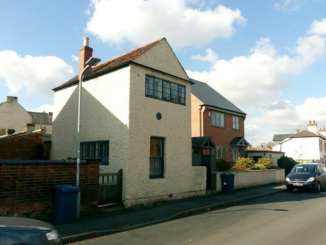
Image: © Alan Murray-Rust Taken: 18 Mar 2022
Not listed, but restored with English Heritage assistance in 2007.
Images are licensed for reuse under creativecommons.org/licenses/by-sa/2.0
Image Location
Latitude
52.889888
Longitude
-1.151147