B3133 south of Kenn
Introduction
The photograph on this page of B3133 south of Kenn by Derek Harper as part of the Geograph project.
The Geograph project started in 2005 with the aim of publishing, organising and preserving representative images for every square kilometre of Great Britain, Ireland and the Isle of Man.

There are currently over 7.5m images from over 14,400 individuals and you can help contribute to the project by visiting https://www.geograph.org.uk
B3133 south of Kenn
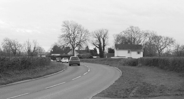
Image: © Derek Harper Taken: 12 Mar 2022
The B3133 follows a sinuous course between Clevedon and Yatton. As with Image] and Image], the light is so poor that monochrome is the sane option.
Images are licensed for reuse under creativecommons.org/licenses/by-sa/2.0
Image Location
Latitude
51.409765
Longitude
-2.845946