The Grange, North End
Introduction
The photograph on this page of The Grange, North End by Derek Harper as part of the Geograph project.
The Geograph project started in 2005 with the aim of publishing, organising and preserving representative images for every square kilometre of Great Britain, Ireland and the Isle of Man.

There are currently over 7.5m images from over 14,400 individuals and you can help contribute to the project by visiting https://www.geograph.org.uk
The Grange, North End
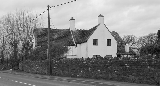
Image: © Derek Harper Taken: 12 Mar 2022
"Early C16 hall house with later wing and stair tower, mid C17 wing added to front ..." https://historicengland.org.uk/listing/the-list/list-entry/1312288?section=official-list-entry . Colour has drained from the light, so this is in monochrome. Seen across the B3133.
Images are licensed for reuse under creativecommons.org/licenses/by-sa/2.0
Image Location
Latitude
51.400283
Longitude
-2.839159