
Open Land behind Blackburn
Introduction
The photograph on this page of Open Land behind Blackburn by Ian Dodds as part of the Geograph project.
The Geograph project started in 2005 with the aim of publishing, organising and preserving representative images for every square kilometre of Great Britain, Ireland and the Isle of Man.

There are currently over 7.5m images from over 14,400 individuals and you can help contribute to the project by visiting https://www.geograph.org.uk
Open Land behind Blackburn
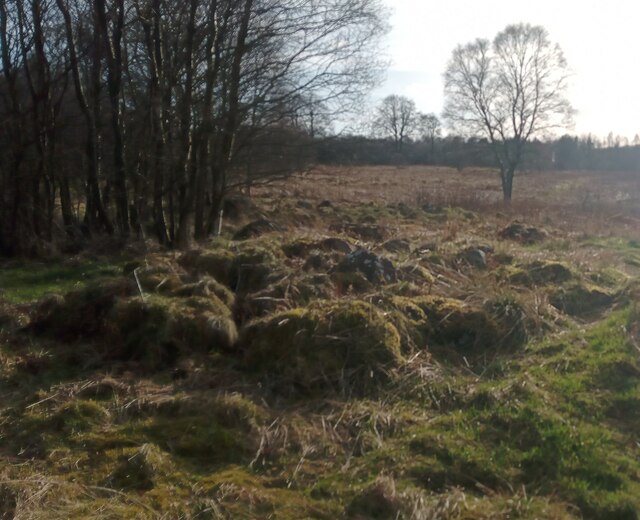
Image: © Ian Dodds Taken: 18 Mar 2022
Only a small fraction of this grid-square isn't taken over by urban development. This land sits between houses at the NorthEast of Blackburn and the M8 motorway; it contains a number of paths - unmarked on even the most detailed online mapping - and a great deal of rubbish. Like a lot of semi-wasteland it has a certain appeal and feeling of discovery about it. The piles of mossy stones in the foreground sadly don't seem to tie in with any previous structure around here though - they are probably just the result of ground getting cleared for woodland or drainage ditches.
Images are licensed for reuse under creativecommons.org/licenses/by-sa/2.0
Image Location

Latitude
55.882006
Longitude
-3.616594