A470, Dolwyddelan
Introduction
The photograph on this page of A470, Dolwyddelan by David Dixon as part of the Geograph project.
The Geograph project started in 2005 with the aim of publishing, organising and preserving representative images for every square kilometre of Great Britain, Ireland and the Isle of Man.

There are currently over 7.5m images from over 14,400 individuals and you can help contribute to the project by visiting https://www.geograph.org.uk
A470, Dolwyddelan
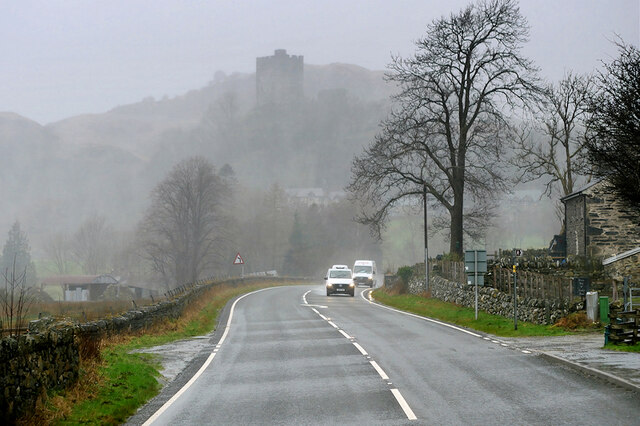
Image: © David Dixon Taken: 16 Feb 2022
The outline of Dolwddelan Castle can be seen through the rain and mist.
Images are licensed for reuse under creativecommons.org/licenses/by-sa/2.0
Image Location
Latitude
53.053376
Longitude
-3.901008