Approaching Sheepscar Interchange on Claypit Lane southbound
Introduction
The photograph on this page of Approaching Sheepscar Interchange on Claypit Lane southbound by Stephen Craven as part of the Geograph project.
The Geograph project started in 2005 with the aim of publishing, organising and preserving representative images for every square kilometre of Great Britain, Ireland and the Isle of Man.

There are currently over 7.5m images from over 14,400 individuals and you can help contribute to the project by visiting https://www.geograph.org.uk
Approaching Sheepscar Interchange on Claypit Lane southbound
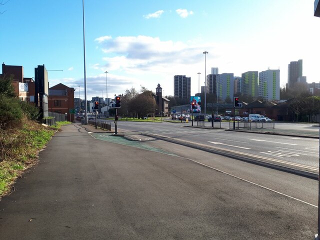
Image: © Stephen Craven Taken: 6 Mar 2022
Sheepscar Interchange is a complex urban road junction where the A61 and A58 meet in the Leylands area of Leeds, created in the 1980s as part of Leeds' ambition to be a 'motorway city' - a policy that not only led to much demolition (including the grade II listed St Clements Church with its 140 foot spire close to this location), but hampered later efforts to improve public transport.
Images are licensed for reuse under creativecommons.org/licenses/by-sa/2.0
Image Location


Leaflet Map data © OpenStreetMap
Latitude
53.809218
Longitude
-1.534819