Rolling countryside, Hurley
Introduction
The photograph on this page of Rolling countryside, Hurley by Andrew Smith as part of the Geograph project.
The Geograph project started in 2005 with the aim of publishing, organising and preserving representative images for every square kilometre of Great Britain, Ireland and the Isle of Man.

There are currently over 7.5m images from over 14,400 individuals and you can help contribute to the project by visiting https://www.geograph.org.uk
Rolling countryside, Hurley
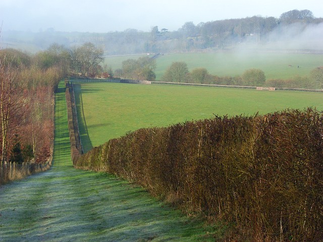
Image: © Andrew Smith Taken: 25 Feb 2008
Low chalk hills rise to the south of the Thames between Cookham and Wargrave. A large area of these to the southwest of Hurley is occupied by Juddmonte Farms who breed horses. These are amongst their fields.
Images are licensed for reuse under creativecommons.org/licenses/by-sa/2.0
Image Location
Latitude
51.532906
Longitude
-0.833636