The River Ayr at Muirkirk from the air
Introduction
The photograph on this page of The River Ayr at Muirkirk from the air by Thomas Nugent as part of the Geograph project.
The Geograph project started in 2005 with the aim of publishing, organising and preserving representative images for every square kilometre of Great Britain, Ireland and the Isle of Man.

There are currently over 7.5m images from over 14,400 individuals and you can help contribute to the project by visiting https://www.geograph.org.uk
The River Ayr at Muirkirk from the air
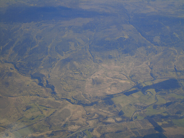
Image: © Thomas Nugent Taken: 6 Mar 2022
Muirkirk just makes an appearance at the bottom of the photo. The route of the GSWR Muirkirk Branch railway line can be seen running diagonally up from the lower left corner.
Images are licensed for reuse under creativecommons.org/licenses/by-sa/2.0
Image Location
Latitude
55.514496
Longitude
-4.084088