Private woodland by Hackenden Lane
Introduction
The photograph on this page of Private woodland by Hackenden Lane by Robin Webster as part of the Geograph project.
The Geograph project started in 2005 with the aim of publishing, organising and preserving representative images for every square kilometre of Great Britain, Ireland and the Isle of Man.

There are currently over 7.5m images from over 14,400 individuals and you can help contribute to the project by visiting https://www.geograph.org.uk
Private woodland by Hackenden Lane
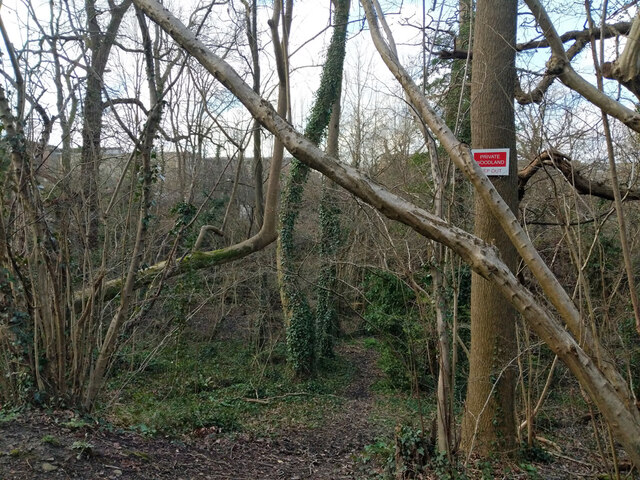
Image: © Robin Webster Taken: 12 Mar 2022
Only a narrow strip between the lane and the railway. There is something down below which is not a tree. On old maps a small gasworks was here, so probably there are remains. It is likely that this supplied the former convent, orphanage and school of St Margaret's.
Images are licensed for reuse under creativecommons.org/licenses/by-sa/2.0
Image Location
Latitude
51.134615
Longitude
-0.011396