Gravel and Teasels by the Lake
Introduction
The photograph on this page of Gravel and Teasels by the Lake by Des Blenkinsopp as part of the Geograph project.
The Geograph project started in 2005 with the aim of publishing, organising and preserving representative images for every square kilometre of Great Britain, Ireland and the Isle of Man.

There are currently over 7.5m images from over 14,400 individuals and you can help contribute to the project by visiting https://www.geograph.org.uk
Gravel and Teasels by the Lake
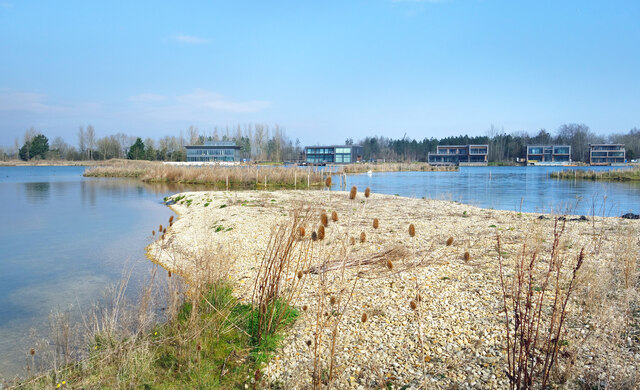
Image: © Des Blenkinsopp Taken: 8 Mar 2022
An old gravel pit has been redeveloped for housing and recreation. Some of the spacious new premises can be seen on the far side. On this side a bare gravel bank has been left, perhaps as a fishing platform?
Images are licensed for reuse under creativecommons.org/licenses/by-sa/2.0
Image Location
Latitude
51.691176
Longitude
-1.740129