Berry Head Common
Introduction
The photograph on this page of Berry Head Common by Derek Harper as part of the Geograph project.
The Geograph project started in 2005 with the aim of publishing, organising and preserving representative images for every square kilometre of Great Britain, Ireland and the Isle of Man.

There are currently over 7.5m images from over 14,400 individuals and you can help contribute to the project by visiting https://www.geograph.org.uk
Berry Head Common
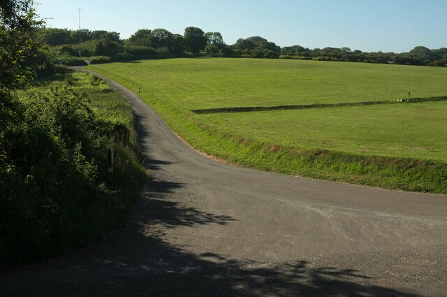
Image: © Derek Harper Taken: 13 Jun 2021
From the coast path at the junction of a road (used by footpath BX 4) to Berry Head Farm with Gillard Road (left foreground).
Images are licensed for reuse under creativecommons.org/licenses/by-sa/2.0
Image Location
Latitude
50.396075
Longitude
-3.494098