Mearns Kirk
Introduction
The photograph on this page of Mearns Kirk by Richard Sutcliffe as part of the Geograph project.
The Geograph project started in 2005 with the aim of publishing, organising and preserving representative images for every square kilometre of Great Britain, Ireland and the Isle of Man.

There are currently over 7.5m images from over 14,400 individuals and you can help contribute to the project by visiting https://www.geograph.org.uk
Mearns Kirk
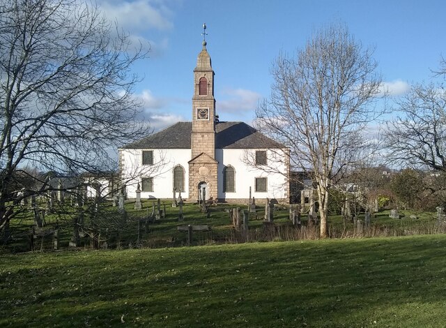
Image: © Richard Sutcliffe Taken: 7 Mar 2022
The church probably dates from the late 16th century, but it was completely remodelled about 1813. It is category B listed http://portal.historicenvironment.scot/designation/LB18532.
Images are licensed for reuse under creativecommons.org/licenses/by-sa/2.0
Image Location
Latitude
55.766762
Longitude
-4.325024