Northwood
Introduction
The photograph on this page of Northwood by Derek Harper as part of the Geograph project.
The Geograph project started in 2005 with the aim of publishing, organising and preserving representative images for every square kilometre of Great Britain, Ireland and the Isle of Man.

There are currently over 7.5m images from over 14,400 individuals and you can help contribute to the project by visiting https://www.geograph.org.uk
Northwood
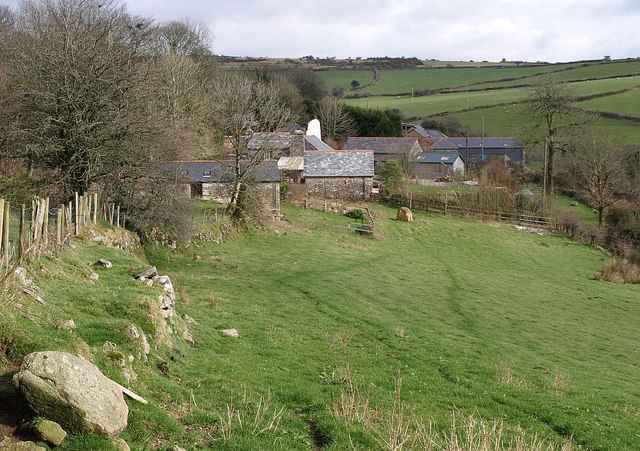
Image: © Derek Harper Taken: 28 Feb 2008
West Northwood, with East Northwood beyond it - two farms on a short cul-de-sac of public road on the side of the valley shown in Image Seen from the lane shown in Image
Images are licensed for reuse under creativecommons.org/licenses/by-sa/2.0
Image Location


Leaflet Map data © OpenStreetMap
Latitude
50.498516
Longitude
-4.53742