Public footpath 1dEG, East Grinstead
Introduction
The photograph on this page of Public footpath 1dEG, East Grinstead by Robin Webster as part of the Geograph project.
The Geograph project started in 2005 with the aim of publishing, organising and preserving representative images for every square kilometre of Great Britain, Ireland and the Isle of Man.

There are currently over 7.5m images from over 14,400 individuals and you can help contribute to the project by visiting https://www.geograph.org.uk
Public footpath 1dEG, East Grinstead
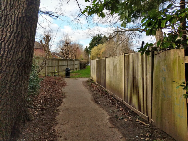
Image: © Robin Webster Taken: 6 Mar 2022
From St Johns Road through Mount Noddy recreation ground and cemetery to Badgers Way just round the corner. It continues under a different affix to Holtye Road by the Queen Victoria Hospital.
Images are licensed for reuse under creativecommons.org/licenses/by-sa/2.0
Image Location
Latitude
51.132091
Longitude
-0.005788