Webster's Brewery
Introduction
The photograph on this page of Webster's Brewery by Kevin Waterhouse as part of the Geograph project.
The Geograph project started in 2005 with the aim of publishing, organising and preserving representative images for every square kilometre of Great Britain, Ireland and the Isle of Man.

There are currently over 7.5m images from over 14,400 individuals and you can help contribute to the project by visiting https://www.geograph.org.uk
Webster's Brewery
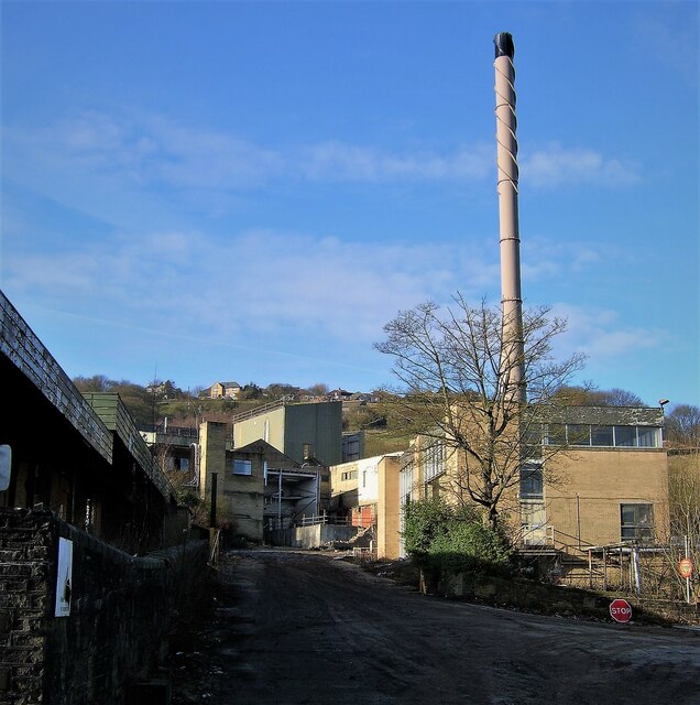
Image: © Kevin Waterhouse Taken: 15 Dec 2005
The power plant and brewery was being demolished at this time. View from Ovenden Wood Road, which is now surrounded by housing
Images are licensed for reuse under creativecommons.org/licenses/by-sa/2.0
Image Location
Latitude
53.737099
Longitude
-1.905062