Road closed
Introduction
The photograph on this page of Road closed by Richard Sutcliffe as part of the Geograph project.
The Geograph project started in 2005 with the aim of publishing, organising and preserving representative images for every square kilometre of Great Britain, Ireland and the Isle of Man.

There are currently over 7.5m images from over 14,400 individuals and you can help contribute to the project by visiting https://www.geograph.org.uk
Road closed
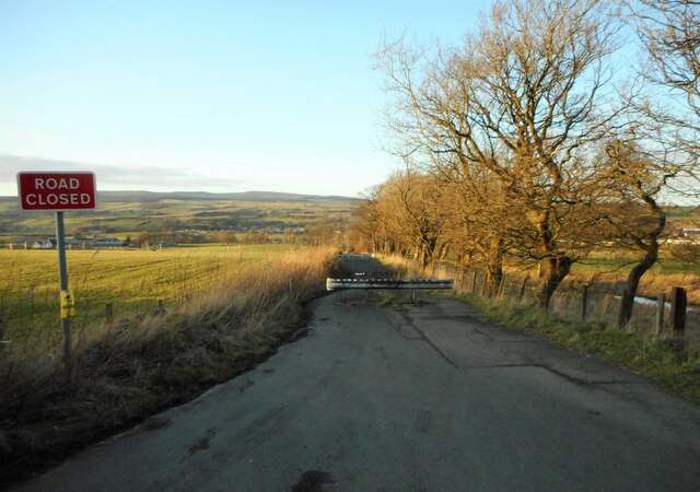
Image: © Richard Sutcliffe Taken: 1 Mar 2022
Wyndford Road has been closed beyond this point to all traffic since February 2011 due to subsidence caused by old mine workings.
Images are licensed for reuse under creativecommons.org/licenses/by-sa/2.0
Image Location


Leaflet Map data © OpenStreetMap
Latitude
55.979591
Longitude
-3.957731