Fountainhead Village Panorama
Introduction
The photograph on this page of Fountainhead Village Panorama by Kevin Waterhouse as part of the Geograph project.
The Geograph project started in 2005 with the aim of publishing, organising and preserving representative images for every square kilometre of Great Britain, Ireland and the Isle of Man.

There are currently over 7.5m images from over 14,400 individuals and you can help contribute to the project by visiting https://www.geograph.org.uk
Fountainhead Village Panorama
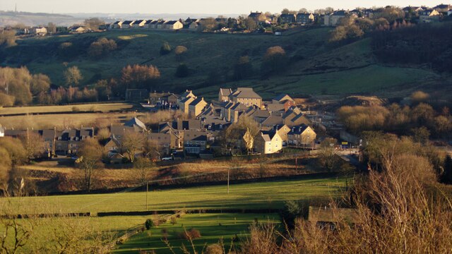
Image: © Kevin Waterhouse Taken: 7 Mar 2010
This is a housing development on the site of the former Fountain Head Brewery of Samuel Websters. Viewed from Gibb Lane, Mount Tabor to the North West
Images are licensed for reuse under creativecommons.org/licenses/by-sa/2.0
Image Location
Latitude
53.736828
Longitude
-1.90294