Rhiwabon
Introduction
The photograph on this page of Rhiwabon by Mike Parker as part of the Geograph project.
The Geograph project started in 2005 with the aim of publishing, organising and preserving representative images for every square kilometre of Great Britain, Ireland and the Isle of Man.

There are currently over 7.5m images from over 14,400 individuals and you can help contribute to the project by visiting https://www.geograph.org.uk
Rhiwabon
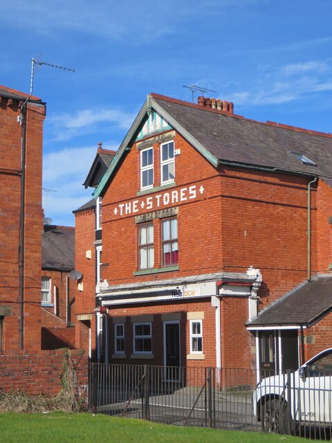
Image: © Mike Parker Taken: 1 Mar 2022
Nowhere is the brilliant red Ruabon brick better shown off than in its home village on a bright early spring morning.
Images are licensed for reuse under creativecommons.org/licenses/by-sa/2.0
Image Location
Latitude
52.9887
Longitude
-3.038707