At the junction of Dola Avenue and Church Lane
Introduction
The photograph on this page of At the junction of Dola Avenue and Church Lane by Christine Johnstone as part of the Geograph project.
The Geograph project started in 2005 with the aim of publishing, organising and preserving representative images for every square kilometre of Great Britain, Ireland and the Isle of Man.

There are currently over 7.5m images from over 14,400 individuals and you can help contribute to the project by visiting https://www.geograph.org.uk
At the junction of Dola Avenue and Church Lane
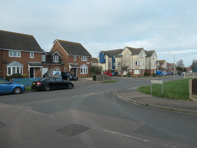
Image: © Christine Johnstone Taken: 17 Feb 2022
Where different housing developments meet, in Deal's western suburbs.
Images are licensed for reuse under creativecommons.org/licenses/by-sa/2.0
Image Location
Latitude
51.223153
Longitude
1.387624