Former ironstone branch line towards Skillington
Introduction
The photograph on this page of Former ironstone branch line towards Skillington by Andrew Tatlow as part of the Geograph project.
The Geograph project started in 2005 with the aim of publishing, organising and preserving representative images for every square kilometre of Great Britain, Ireland and the Isle of Man.

There are currently over 7.5m images from over 14,400 individuals and you can help contribute to the project by visiting https://www.geograph.org.uk
Former ironstone branch line towards Skillington
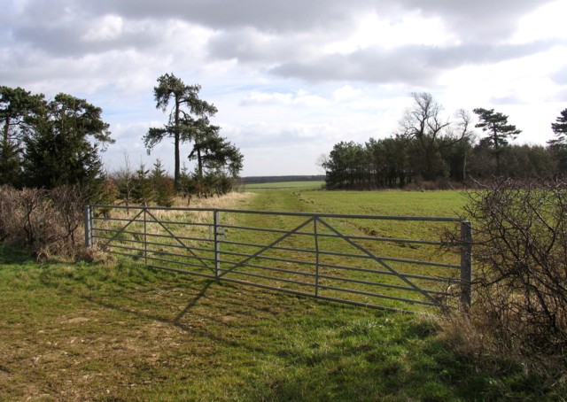
Image: © Andrew Tatlow Taken: 2 Mar 2008
The line gave access to the ironstone quarry at Sproxton. But did the trackwork extended as far as the quarry? There is a report of a rail enthusiasts outing reaching "Sproxton" in 1972. See http://www.sixbellsjunction.co.uk/70s/720415rc.html
Images are licensed for reuse under creativecommons.org/licenses/by-sa/2.0
Image Location
Latitude
52.816489
Longitude
-0.699417