Footpath 99W, Maidenbower, Crawley
Introduction
The photograph on this page of Footpath 99W, Maidenbower, Crawley by Robin Webster as part of the Geograph project.
The Geograph project started in 2005 with the aim of publishing, organising and preserving representative images for every square kilometre of Great Britain, Ireland and the Isle of Man.

There are currently over 7.5m images from over 14,400 individuals and you can help contribute to the project by visiting https://www.geograph.org.uk
Footpath 99W, Maidenbower, Crawley
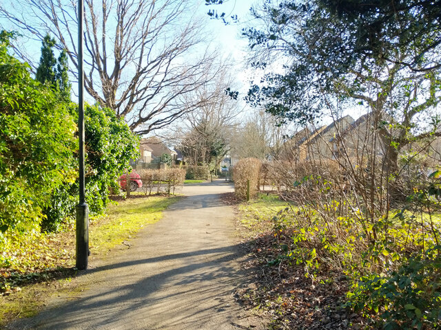
Image: © Robin Webster Taken: 26 Feb 2022
Threading through the housing of Maidenbower, crossing Tuxford Close ahead.
Images are licensed for reuse under creativecommons.org/licenses/by-sa/2.0
Image Location
Latitude
51.106324
Longitude
-0.156319