Pirehill Lane
Introduction
The photograph on this page of Pirehill Lane by Bill Boaden as part of the Geograph project.
The Geograph project started in 2005 with the aim of publishing, organising and preserving representative images for every square kilometre of Great Britain, Ireland and the Isle of Man.

There are currently over 7.5m images from over 14,400 individuals and you can help contribute to the project by visiting https://www.geograph.org.uk
Pirehill Lane
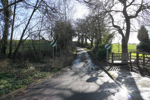
Image: © Bill Boaden Taken: 24 Feb 2022
This is the point at which the housing development ends. The 30 mph speed limit ends here too, but in view of the width of the road, I don't think drivers will be able to take advantage.
Images are licensed for reuse under creativecommons.org/licenses/by-sa/2.0
Image Location
Latitude
52.886349
Longitude
-2.152585