OS benchmark (remains) in Middleton Priors
Introduction
The photograph on this page of OS benchmark (remains) in Middleton Priors by Richard Law as part of the Geograph project.
The Geograph project started in 2005 with the aim of publishing, organising and preserving representative images for every square kilometre of Great Britain, Ireland and the Isle of Man.

There are currently over 7.5m images from over 14,400 individuals and you can help contribute to the project by visiting https://www.geograph.org.uk
OS benchmark (remains) in Middleton Priors
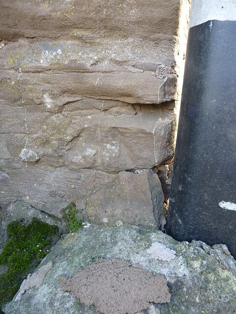
Image: © Richard Law Taken: 30 Oct 2021
Rather weathered and in poor order, although the arrow below the benchcut can just about be made out here. This mark makes its first appearance on the map of 1883, where it's shown at a height of 701.5ft above Liverpool datum, and was last levelled by the OS in 1972 at 213.704m above Ordnance Datum Newlyn.
Images are licensed for reuse under creativecommons.org/licenses/by-sa/2.0
Image Location
Latitude
52.509572
Longitude
-2.555842