Little Parrock Farm
Introduction
The photograph on this page of Little Parrock Farm by Simon Carey as part of the Geograph project.
The Geograph project started in 2005 with the aim of publishing, organising and preserving representative images for every square kilometre of Great Britain, Ireland and the Isle of Man.

There are currently over 7.5m images from over 14,400 individuals and you can help contribute to the project by visiting https://www.geograph.org.uk
Little Parrock Farm
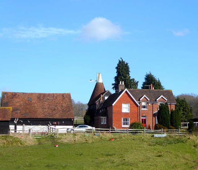
Image: © Simon Carey Taken: 26 Feb 2022
Viewed from Shepherds Hill. The older farmhouse is next to the oast house and seems to have been extended in the late 19th century.
Images are licensed for reuse under creativecommons.org/licenses/by-sa/2.0
Image Location


Leaflet Map data © OpenStreetMap
Latitude
51.088684
Longitude
0.065029