Burley Way
Introduction
The photograph on this page of Burley Way by John Baker as part of the Geograph project.
The Geograph project started in 2005 with the aim of publishing, organising and preserving representative images for every square kilometre of Great Britain, Ireland and the Isle of Man.

There are currently over 7.5m images from over 14,400 individuals and you can help contribute to the project by visiting https://www.geograph.org.uk
Burley Way
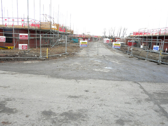
Image: © John Baker Taken: 6 Feb 2022
The site has been acquired by Pentland Homes for a stunning collection of 2, 3 and 4 bed homes; the development will form part of Mulberry Place. This view of Image was photographed in September 2021. Planning permission has been approved, with conditions, by Folkestone and Hythe District Council under application number Y18/1404/FH for an “outline planning application for the erection of up to 117 dwellings with public open space, landscaping and sustainable drainage system and vehicular access point from Ashford Road. All matters reserved except for means of access”.
Images are licensed for reuse under creativecommons.org/licenses/by-sa/2.0
Image Location
Latitude
50.987904
Longitude
0.936779