Gully and farmland by Logie
Introduction
The photograph on this page of Gully and farmland by Logie by Jim Bain as part of the Geograph project.
The Geograph project started in 2005 with the aim of publishing, organising and preserving representative images for every square kilometre of Great Britain, Ireland and the Isle of Man.

There are currently over 7.5m images from over 14,400 individuals and you can help contribute to the project by visiting https://www.geograph.org.uk
Gully and farmland by Logie
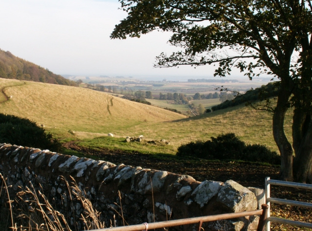
Image: © Jim Bain Taken: 27 Oct 2005
Looking down a small gully that starts here. The run off from the surrounding slopes form a small burn lower down which feeds the Moonzie burn and in turn they join the Motray Burn and enter the North sea via the Eden estuary some 5kms away at Guardbridge. The Eden and the North sea are just visible directly under the lower branches of the tree.
Images are licensed for reuse under creativecommons.org/licenses/by-sa/2.0
Image Location


Leaflet Map data © OpenStreetMap
Latitude
56.365892
Longitude
-2.959866