Lancaster Drive, Broadstone
Introduction
The photograph on this page of Lancaster Drive, Broadstone by Malc McDonald as part of the Geograph project.
The Geograph project started in 2005 with the aim of publishing, organising and preserving representative images for every square kilometre of Great Britain, Ireland and the Isle of Man.

There are currently over 7.5m images from over 14,400 individuals and you can help contribute to the project by visiting https://www.geograph.org.uk
Lancaster Drive, Broadstone
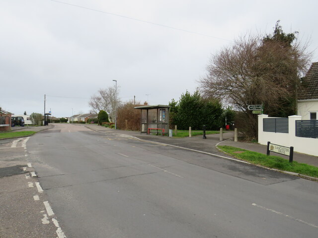
Image: © Malc McDonald Taken: 7 Feb 2022
Lancaster Drive is a minor road in Broadstone, on the outskirts of Poole. Notice that the road surface changes just beyond the bus stop. Here is the boundary between two unitary authorities, Bournemouth Christchurch & Poole (BCP) and Dorset.
Images are licensed for reuse under creativecommons.org/licenses/by-sa/2.0
Image Location
Latitude
50.767726
Longitude
-2.010725