Stud Farm
Introduction
The photograph on this page of Stud Farm by Ian Capper as part of the Geograph project.
The Geograph project started in 2005 with the aim of publishing, organising and preserving representative images for every square kilometre of Great Britain, Ireland and the Isle of Man.

There are currently over 7.5m images from over 14,400 individuals and you can help contribute to the project by visiting https://www.geograph.org.uk
Stud Farm
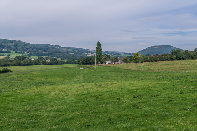
Image: © Ian Capper Taken: 8 Sep 2021
Looking across a field opposite New Court Farm towards Stud Farm. The summit of Sugar Loaf can just be seen above the hill in the background.
Images are licensed for reuse under creativecommons.org/licenses/by-sa/2.0
Image Location
Latitude
51.844549
Longitude
-2.995231