Highcliffe: Lymington Road
Introduction
The photograph on this page of Highcliffe: Lymington Road by Chris Downer as part of the Geograph project.
The Geograph project started in 2005 with the aim of publishing, organising and preserving representative images for every square kilometre of Great Britain, Ireland and the Isle of Man.

There are currently over 7.5m images from over 14,400 individuals and you can help contribute to the project by visiting https://www.geograph.org.uk
Highcliffe: Lymington Road
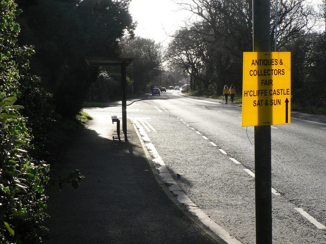
Image: © Chris Downer Taken: 1 Mar 2008
Looking along Lymington Road towards Highcliffe village centre. As its name suggests, it is the road to Lymington – the A337. The bus stop is by the junction of Mill Road.
Images are licensed for reuse under creativecommons.org/licenses/by-sa/2.0
Image Location
Latitude
50.743936
Longitude
-1.690411