A muddy bridleway
Introduction
The photograph on this page of A muddy bridleway by Richard Law as part of the Geograph project.
The Geograph project started in 2005 with the aim of publishing, organising and preserving representative images for every square kilometre of Great Britain, Ireland and the Isle of Man.

There are currently over 7.5m images from over 14,400 individuals and you can help contribute to the project by visiting https://www.geograph.org.uk
A muddy bridleway
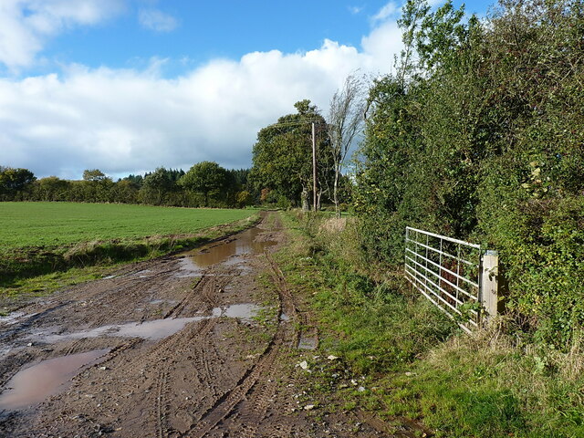
Image: © Richard Law Taken: 30 Oct 2021
The bridleway leads to Monkhall and then onwards to Kite's Nest Farm, eventually joining a road near Bourton, where I found the other end of it a few years ago Image
Images are licensed for reuse under creativecommons.org/licenses/by-sa/2.0
Image Location
Latitude
52.528192
Longitude
-2.568784