Jericho Wharf development site
Introduction
The photograph on this page of Jericho Wharf development site by Stephen Craven as part of the Geograph project.
The Geograph project started in 2005 with the aim of publishing, organising and preserving representative images for every square kilometre of Great Britain, Ireland and the Isle of Man.

There are currently over 7.5m images from over 14,400 individuals and you can help contribute to the project by visiting https://www.geograph.org.uk
Jericho Wharf development site
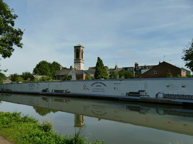
Image: © Stephen Craven Taken: 21 Sep 2021
This was formerly the Corporation Wharf at the end of Nelson Street, still in commercial use in 1937 according to British History Online, but traffic fell by 90% by 1955 when the southern section of the canal was closed to commercial traffic. It is now being developed for housing. Source: https://www.british-history.ac.uk/vch/oxon/vol4/pp284-295 ; see also Image
Images are licensed for reuse under creativecommons.org/licenses/by-sa/2.0
Image Location
Latitude
51.757171
Longitude
-1.270051