New housing for Maybole
Introduction
The photograph on this page of New housing for Maybole by Mary and Angus Hogg as part of the Geograph project.
The Geograph project started in 2005 with the aim of publishing, organising and preserving representative images for every square kilometre of Great Britain, Ireland and the Isle of Man.

There are currently over 7.5m images from over 14,400 individuals and you can help contribute to the project by visiting https://www.geograph.org.uk
New housing for Maybole
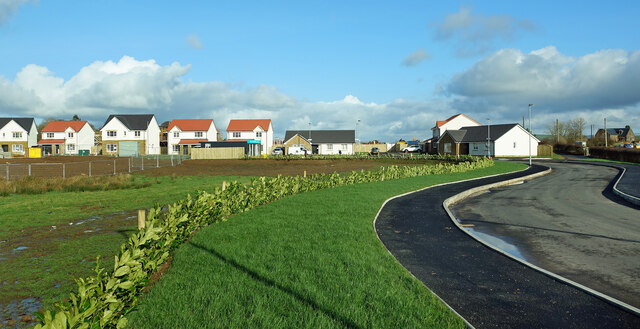
Image: © Mary and Angus Hogg Taken: 19 Feb 2022
Some of the houses in Phase 1 of the Tunnoch Farm development are already occupied. This view shows the access road for the site with the original farm buildings visible on the far right.
Images are licensed for reuse under creativecommons.org/licenses/by-sa/2.0
Image Location
Latitude
55.35264
Longitude
-4.674261