Path, Preston
Introduction
The photograph on this page of Path, Preston by Derek Harper as part of the Geograph project.
The Geograph project started in 2005 with the aim of publishing, organising and preserving representative images for every square kilometre of Great Britain, Ireland and the Isle of Man.

There are currently over 7.5m images from over 14,400 individuals and you can help contribute to the project by visiting https://www.geograph.org.uk
Path, Preston
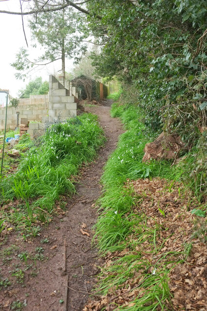
Image: © Derek Harper Taken: 16 Feb 2022
Running along a steep hillside behind Langdon Road, and lined with three-cornered leek.
Images are licensed for reuse under creativecommons.org/licenses/by-sa/2.0
Image Location
Latitude
50.449316
Longitude
-3.562681