Buckle Bypass, Seaford.
Introduction
The photograph on this page of Buckle Bypass, Seaford. by Kevin Gordon as part of the Geograph project.
The Geograph project started in 2005 with the aim of publishing, organising and preserving representative images for every square kilometre of Great Britain, Ireland and the Isle of Man.

There are currently over 7.5m images from over 14,400 individuals and you can help contribute to the project by visiting https://www.geograph.org.uk
Buckle Bypass, Seaford.
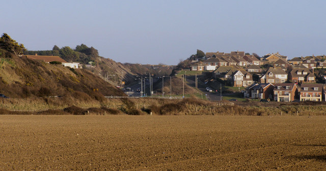
Image: © Kevin Gordon Taken: 1 Mar 2008
The Buckle Bypass cuts through Hawth Hill and was opened in 1963 to avoid traffic having to negotiate Marine Parade which was often flooded during high tides.
Images are licensed for reuse under creativecommons.org/licenses/by-sa/2.0
Image Location
Latitude
50.782301
Longitude
0.083704