Pasture at Kinniegar
Introduction
The photograph on this page of Pasture at Kinniegar by Billy McCrorie as part of the Geograph project.
The Geograph project started in 2005 with the aim of publishing, organising and preserving representative images for every square kilometre of Great Britain, Ireland and the Isle of Man.

There are currently over 7.5m images from over 14,400 individuals and you can help contribute to the project by visiting https://www.geograph.org.uk
Pasture at Kinniegar
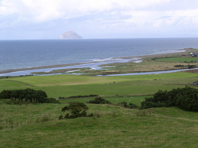
Image: © Billy McCrorie Taken: 27 Aug 2006
Open fields with a view of the river Stinchar meeting the sea, top of photo is the Ailsa Craig.
Images are licensed for reuse under creativecommons.org/licenses/by-sa/2.0
Image Location
Latitude
55.087738
Longitude
-5.005109