Fore Street, Saltash
Introduction
The photograph on this page of Fore Street, Saltash by Kevin Hale as part of the Geograph project.
The Geograph project started in 2005 with the aim of publishing, organising and preserving representative images for every square kilometre of Great Britain, Ireland and the Isle of Man.

There are currently over 7.5m images from over 14,400 individuals and you can help contribute to the project by visiting https://www.geograph.org.uk
Fore Street, Saltash
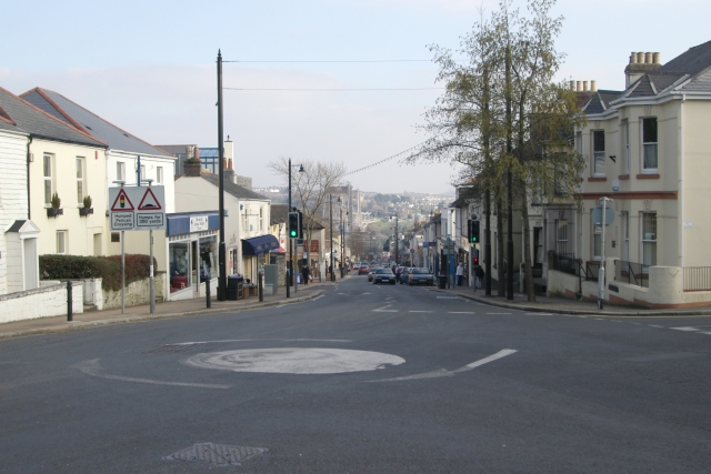
Image: © Kevin Hale Taken: 16 Feb 2008
Saltash's main street, Fore Street, viewed from Victoria Gardens, looking downhill towards the River Tamar, and the world famous Royal Albert Railway Bridge and Tamar Road Bridge.
Images are licensed for reuse under creativecommons.org/licenses/by-sa/2.0
Image Location
Latitude
50.409002
Longitude
-4.215199