Spink Well
Introduction
The photograph on this page of Spink Well by John Illingworth as part of the Geograph project.
The Geograph project started in 2005 with the aim of publishing, organising and preserving representative images for every square kilometre of Great Britain, Ireland and the Isle of Man.

There are currently over 7.5m images from over 14,400 individuals and you can help contribute to the project by visiting https://www.geograph.org.uk
Spink Well
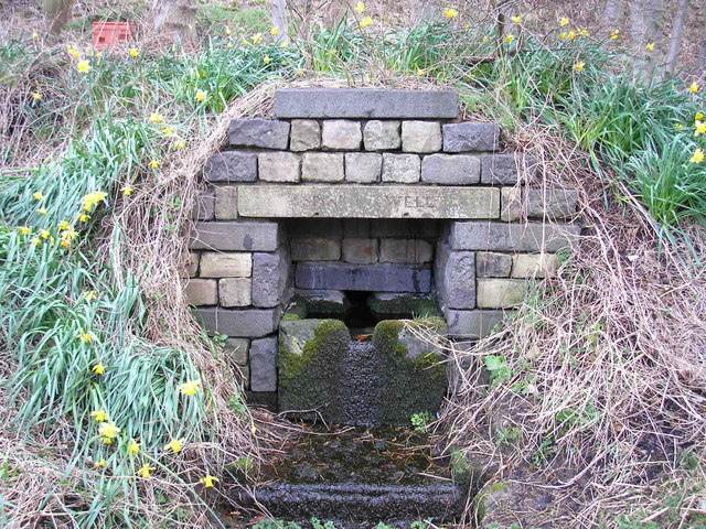
Image: © John Illingworth Taken: 1 Mar 2008
An old well, near the site of Spinkwell Locks on the now obliterated Bradford Canal, but now in the Boar Well Nature Reserve.
Images are licensed for reuse under creativecommons.org/licenses/by-sa/2.0
Image Location
Latitude
53.804741
Longitude
-1.75246