Beckett's Lane was blocked off
Introduction
The photograph on this page of Beckett's Lane was blocked off by Neil Owen as part of the Geograph project.
The Geograph project started in 2005 with the aim of publishing, organising and preserving representative images for every square kilometre of Great Britain, Ireland and the Isle of Man.

There are currently over 7.5m images from over 14,400 individuals and you can help contribute to the project by visiting https://www.geograph.org.uk
Beckett's Lane was blocked off
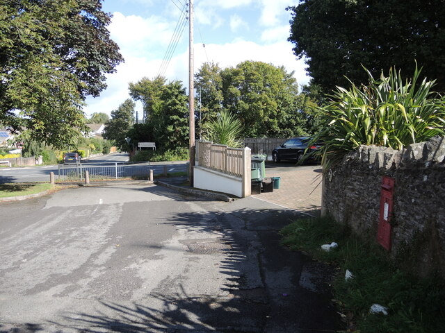
Image: © Neil Owen Taken: 29 Sep 2021
Once this road was the only one worth noting, but when modern Nailsea grew rapidly in the post-war housing boom a new road (Queen's Road) was built right across it. The powers decided to block Beckett's to motor traffic. See Image] for a look at the postbox in the wall.
Images are licensed for reuse under creativecommons.org/licenses/by-sa/2.0
Image Location
Latitude
51.426093
Longitude
-2.759517