Cyclepath East of Thrutch Tunnel
Introduction
The photograph on this page of Cyclepath East of Thrutch Tunnel by Kevin Waterhouse as part of the Geograph project.
The Geograph project started in 2005 with the aim of publishing, organising and preserving representative images for every square kilometre of Great Britain, Ireland and the Isle of Man.

There are currently over 7.5m images from over 14,400 individuals and you can help contribute to the project by visiting https://www.geograph.org.uk
Cyclepath East of Thrutch Tunnel
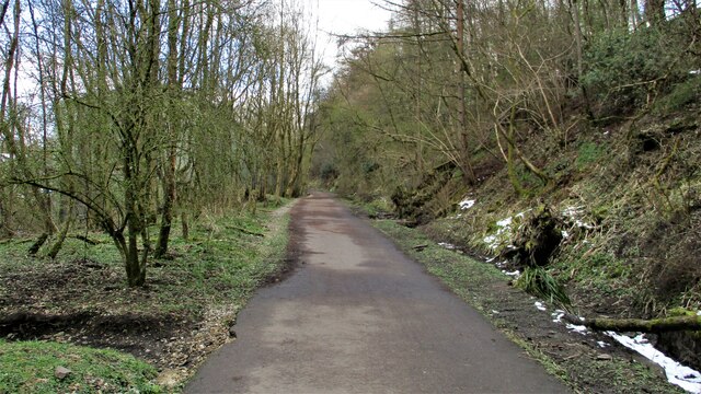
Image: © Kevin Waterhouse Taken: 14 Apr 2021
Cyclepath view East along former railway towards Bacup. It is contoured in the hillside above the River Irwell at this point
Images are licensed for reuse under creativecommons.org/licenses/by-sa/2.0
Image Location
Latitude
53.69016
Longitude
-2.238919