Dorchester Road, Upton
Introduction
The photograph on this page of Dorchester Road, Upton by Malc McDonald as part of the Geograph project.
The Geograph project started in 2005 with the aim of publishing, organising and preserving representative images for every square kilometre of Great Britain, Ireland and the Isle of Man.

There are currently over 7.5m images from over 14,400 individuals and you can help contribute to the project by visiting https://www.geograph.org.uk
Dorchester Road, Upton
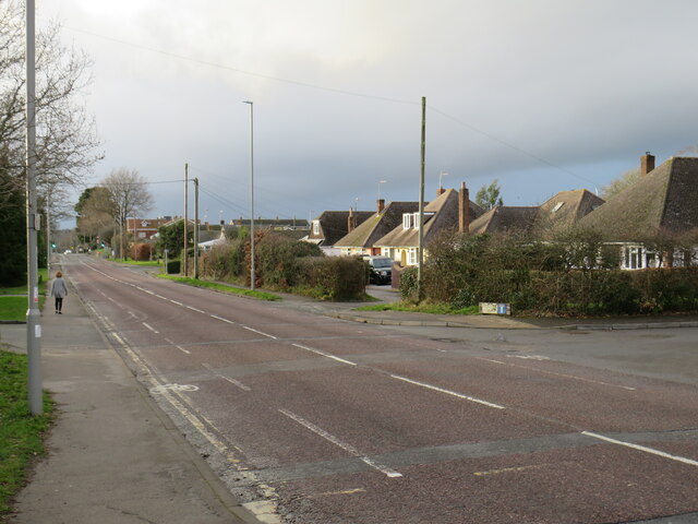
Image: © Malc McDonald Taken: 6 Feb 2022
Dorchester Road would once have been a trunk road, taking traffic through the village of Upton. A by-pass now enables through traffic to avoid the village.
Images are licensed for reuse under creativecommons.org/licenses/by-sa/2.0
Image Location
Latitude
50.738677
Longitude
-2.030983