Church of St Michael and All Angels
Introduction
The photograph on this page of Church of St Michael and All Angels by Ian Capper as part of the Geograph project.
The Geograph project started in 2005 with the aim of publishing, organising and preserving representative images for every square kilometre of Great Britain, Ireland and the Isle of Man.

There are currently over 7.5m images from over 14,400 individuals and you can help contribute to the project by visiting https://www.geograph.org.uk
Church of St Michael and All Angels
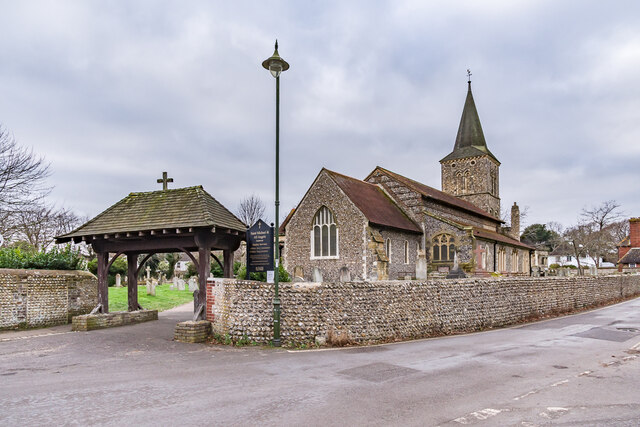
Image: © Ian Capper Taken: 21 Jan 2022
Largely built in the 12th/13th Centuries, with major rebuilding in the 19th and 20th Centuries, the latter in the late 1940s due to an unexpolded bomb Grade II* listed - see https://historicengland.org.uk/listing/the-list/list-entry/1353751?section=official-listing. The lychgate dates from 1908.
Images are licensed for reuse under creativecommons.org/licenses/by-sa/2.0
Image Location
Latitude
50.834894
Longitude
-0.241056