57 The Green
Introduction
The photograph on this page of 57 The Green by Ian Capper as part of the Geograph project.
The Geograph project started in 2005 with the aim of publishing, organising and preserving representative images for every square kilometre of Great Britain, Ireland and the Isle of Man.

There are currently over 7.5m images from over 14,400 individuals and you can help contribute to the project by visiting https://www.geograph.org.uk
57 The Green
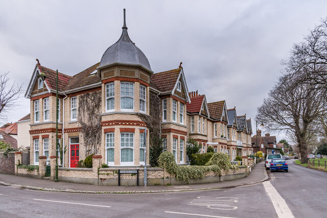
Image: © Ian Capper Taken: 21 Jan 2022
Late 19th Century house on the corner of Church Lane and The Green, with a turret adding interest compared with the rest of the row.
Images are licensed for reuse under creativecommons.org/licenses/by-sa/2.0
Image Location
Latitude
50.834735
Longitude
-0.238903