Sandy Lane, Upton, near Poole
Introduction
The photograph on this page of Sandy Lane, Upton, near Poole by Malc McDonald as part of the Geograph project.
The Geograph project started in 2005 with the aim of publishing, organising and preserving representative images for every square kilometre of Great Britain, Ireland and the Isle of Man.

There are currently over 7.5m images from over 14,400 individuals and you can help contribute to the project by visiting https://www.geograph.org.uk
Sandy Lane, Upton, near Poole
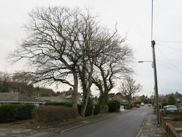
Image: © Malc McDonald Taken: 6 Feb 2022
Sandy Lane is a minor residential road in Upton, near Poole. This image was taken on a February afternoon. The trees on the other side of the road were bare for the winter.
Images are licensed for reuse under creativecommons.org/licenses/by-sa/2.0
Image Location
Latitude
50.734899
Longitude
-2.03424