Priory Lane, Burford
Introduction
The photograph on this page of Priory Lane, Burford by Derek Harper as part of the Geograph project.
The Geograph project started in 2005 with the aim of publishing, organising and preserving representative images for every square kilometre of Great Britain, Ireland and the Isle of Man.

There are currently over 7.5m images from over 14,400 individuals and you can help contribute to the project by visiting https://www.geograph.org.uk
Priory Lane, Burford
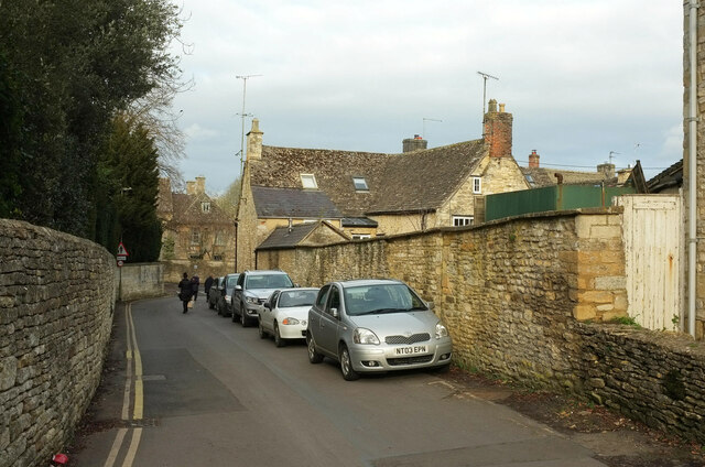
Image: © Derek Harper Taken: 8 Feb 2022
The stretch of the road round the left bend shown in Image The central houses are described at https://historicengland.org.uk/listing/the-list/list-entry/1225190?section=official-listing . On the left is a glimpse of The Old Rectory https://historicengland.org.uk/listing/the-list/list-entry/1224757?section=official-listing .
Images are licensed for reuse under creativecommons.org/licenses/by-sa/2.0
Image Location
Latitude
51.808869
Longitude
-1.637922