Trees along the burn
Introduction
The photograph on this page of Trees along the burn by Robert Graham as part of the Geograph project.
The Geograph project started in 2005 with the aim of publishing, organising and preserving representative images for every square kilometre of Great Britain, Ireland and the Isle of Man.

There are currently over 7.5m images from over 14,400 individuals and you can help contribute to the project by visiting https://www.geograph.org.uk
Trees along the burn
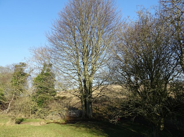
Image: © Robert Graham Taken: 24 Jan 2022
These trees form a thin strip of woodland along the Houghwell Burn running down from White-le-Head to Tanfield Lea.
Images are licensed for reuse under creativecommons.org/licenses/by-sa/2.0
Image Location
Latitude
54.878014
Longitude
-1.7224