The road to Mains of Slains
Introduction
The photograph on this page of The road to Mains of Slains by Martyn Gorman as part of the Geograph project.
The Geograph project started in 2005 with the aim of publishing, organising and preserving representative images for every square kilometre of Great Britain, Ireland and the Isle of Man.

There are currently over 7.5m images from over 14,400 individuals and you can help contribute to the project by visiting https://www.geograph.org.uk
The road to Mains of Slains
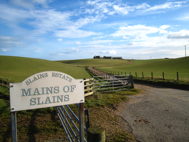
Image: © Martyn Gorman Taken: 1 Mar 2008
The farm of Mains of Slains lies just North of the old fishing village of Collieston. It forms part of Slains Estate on the edge of the North Sea. The land is heavy but highly fertile.
Images are licensed for reuse under creativecommons.org/licenses/by-sa/2.0
Image Location


Leaflet Map data © OpenStreetMap
Latitude
57.363961
Longitude
-1.924181